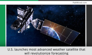
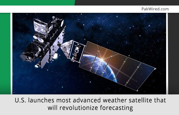
On Nov. 19, the United States has successfully launched its most advanced weather satellite yet.
The Geostationary Operational Environmental Satellite-R Series (GOES-R) will take an image of atmospheric phenomena every 30 seconds and will improve response to severe storms.
GOES-R can snap images on an interval of every 30 seconds, much quicker than its predecessors. That fast imagery allows the satellite to monitor the changes in hurricanes, thunderstorms and other severe storms. It also permits the meteorologists to follow wildfire or volcanic eruption as they spread.
End of an Era
The older weather satellites that closely monitor the American atmosphere are approaching to an end. U.S. has to launch sophisticated weather forecasting satellites; otherwise it would seriously run out of critical weather data. Experts at NASA have been warning of this threat for years.
What’s special about GOES-R?
GOES-R, the first in the new succession to launch, will join the group of U.S. satellites – operated and maintained by NASA and – that regularly monitors and record earth’s weather and atmosphere.
GOES-R will join an international collaboration of satellites that share weather data freely among nearly 200 nations. The data helps others countries generate correct forecast and inform people to prepare for weather events. In turn, those countries share their data with the United Sates. It’s a kind of give and take that defines collaboration among nations and increase data governance.
With the inclusion of GOES-R, the U.S. will have 4 satellites stationed over the Atlantic and Pacific oceans to record weather in North America. The new generation of satellites bears small resemblance to the old.
GO #GOESR GO!! We have liftoff of @NOAA’s #GOESR satellite! Watch its journey to space at https://t.co/bwEP0AUwXD pic.twitter.com/MJFEPpddRB
— NOAA Satellites (@NOAASatellites) November 19, 2016
Video: GOES-R’s launch on Nov. 19th.
The camera on GOES-R will enhance the resolution of current satellites, it can scan whole hemisphere in 4-5 minutes, and if there is a dangerous weather pattern approaching, the satellite can scan a specific smaller region over the U.S. every 30 second.
The satellite has a thunderstorm mapper to continuously monitor and record all of the lightning strikes across North American region and surrounding oceans.
All of the data will be recorded in the form of weather models to improve prediction accuracy. It could extend the timing of tornado warnings and quickly predict the flooding before it begins. It could save more lives in the U.S. and abroad.
The satellite is expected to go live in 2017.
Image: NASA
Source: The Washington Post, Nature